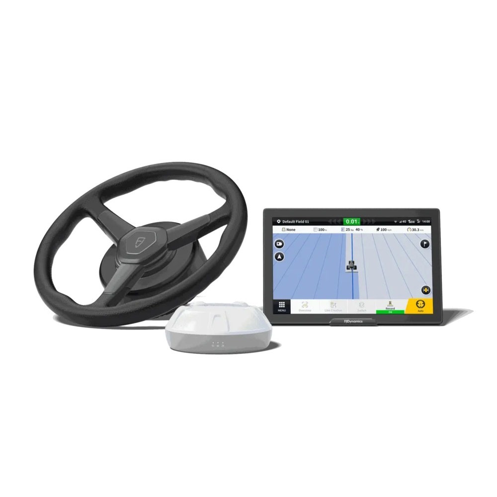
FJD Trion EG10 Excavator Guidance System
A wireless excavator guidance system delivering ±5 cm accuracy with a modular, easy-to-transfer design that enables fast setup across multiple machines, crews, and jobsites.
More Efficiency. Less Downtime.
The FJD Trion EG10 is a wireless excavator guidance system designed to deliver up to ±5 cm accuracy for efficient, high-precision excavation and grading.
Its lightweight modular design allows for quick installation and seamless transfer between machines, making it an ideal solution for contractors managing multiple projects, operators, and jobsite requirements.
By reducing setup time and improving operational flexibility, the EG10 helps crews work faster, smarter, and with greater confidence across every stage of construction.
Global Coordinate Systems
6,000+ predefined coordinate systems worldwide. Quick setup for different regions, without extra configuration.
Multi-Layer Support
Works with DWG, DXF, SHP, KML, and XML files. Clear layer display for complex project drawings.
Build With Real-Time Visibility
Gain complete oversight of machine activity, project progress, and operational performance through connected construction technology. Real-time tracking, schedule monitoring, and risk management tools help teams stay informed, improve efficiency, and make faster decisions on-site. Cloud-based data synchronisation ensures your design files, field updates, and machine workflows remain connected across the office and the jobsite.
Levelling
Set a target elevation to keep the surface consistent. Suitable for land leveling, factory sites, and sludge cleanup.
Line Guidance
Create straight-line elevation guidance in our software. Designed for trenching, slotting, and drainage pipeline work.
Ready to Build Smarter?
Discover how connected construction technology can improve accuracy, reduce downtime, and keep every project moving forward with confidence.