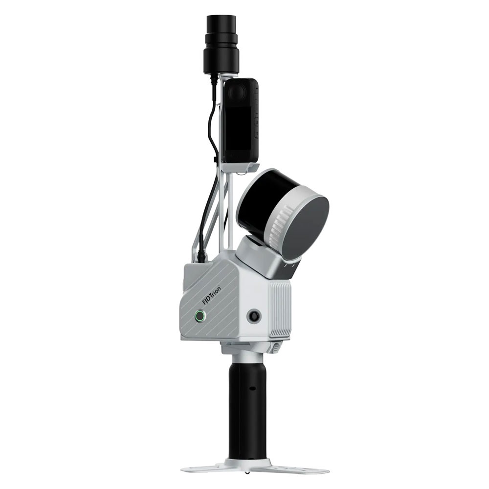
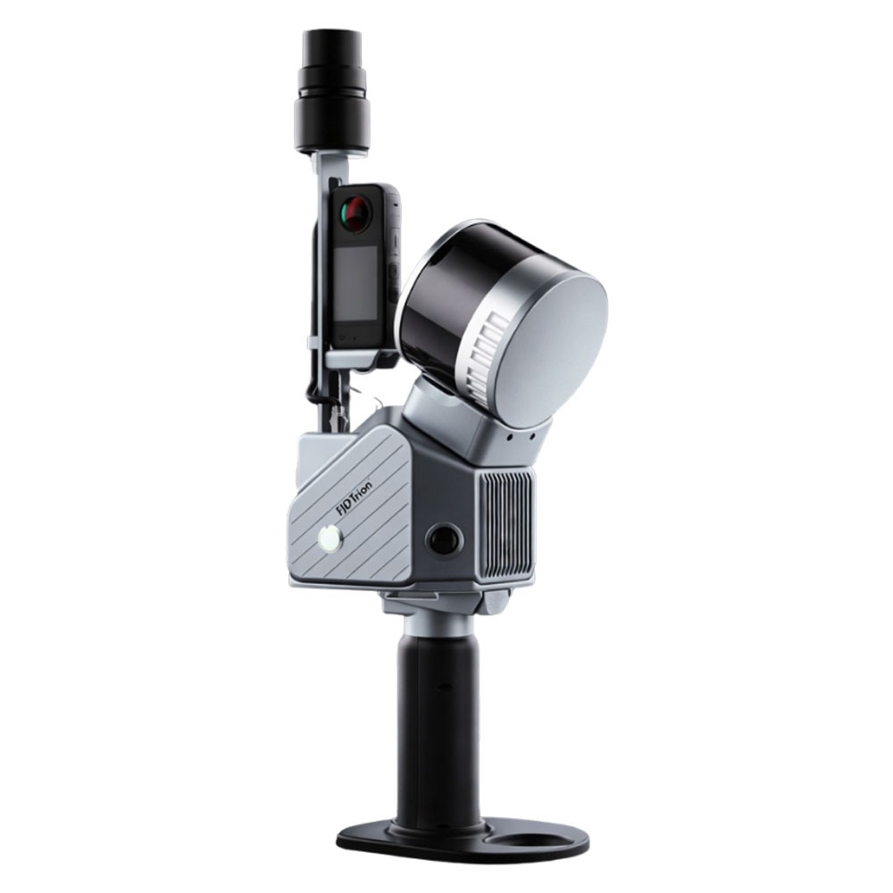
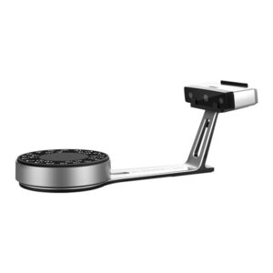
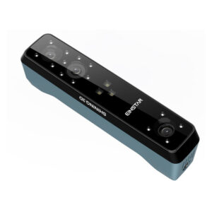
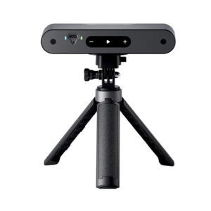
FJD Trion S2 Series LiDAR Scanner
Scan the toughest without compromise
S2 – 320,000 Points Per Second – 120m Range
S2 Pro – 640,000 Points Per Second – 120m Range
S2 Max – 640,000 Points Per Second – 300m Range
Smaller Size, Larger Capability
The FJD Trion S2 LIDAR Scanner boasts advanced VIO and SLAM algorithms for generating high-quality and reliable point clouds. Supporting over 8000 coordinate systems, the S2 eliminates the need for time-consuming manual coordinate conversions.
By integrating with FJD Trion Scan and Model software and utilizing practical accessories like stabilising vest, drone mount, car mount, and robot dog mount, the S2 enhances data capturing and processing efficiency for outdoor surveying projects.
Key Benefits
Multi-Module Integration
Integrate camera, IMU, and RTK modules into a compact form of 2kg in weight, allowing you to carry it around for various surveying projects.
Multi-SLAM Algorithms for Accurate Output
Embed two 12MP cameras to generate high-resolution images with advanced Visual-Inertial Odometry (VIO) and SLAM algorithms, delivering accurate results even in complex environments with fewer feature points.
Georeferenced Point Clouds
With an integrated RTK module, directly get georeferenced point clouds on the go. RTK & PPK support ensure accurate data collection in dense tree canopies and other signal-challenging areas. Plus, with over 8000 coordinate systems, no fear of tedious coordinate conversions anymore!
Effortless Scanning & Carrying
Capture point clouds in all directions even in hard-to-reach areas with practical accessories, including the stabilizing vest, extension pole, car and drone mounts, robot dog, and rolling suitcase. You can just go and scan anytime, anywhere.
- Robot Dog – Safety is a priority. The robot dog integration enhances automatic navigation and inspection in challenging areas like construction sites, disaster zones, and underground facilities, improving safety and efficiency by minimizing human intervention.
- Car Mount – Scan faster on the move! This vehicle-mounted scanning system captures accurate 3D data while driving, ideal for large-scale road mapping, highway inspections, urban streets, bridges, and infrastructure surveys.
- Stabilising Vest – Stable all the way! This professional-grade stabilizing vest helps you scan more comfortably with unique weight-bearing design and ergonomic structure, so you can retain scanning stability even in non-flat terrains like steep mountains and rugged surfaces.
- Extension Pole – No spatial limitations. The extension pole helps you easily measure building facades, bridge undersides, dense pipeline corridors, and other traditionally hard-to-reach areas. With the quick-lock mechanism for scanning stability, it expands the scanning range for broader data acquisition.
- Rolling Suitcase – Carrying is made easier. The rolling suitcase complies with airline check-in standards. Its modular storage compartments allow you to effortlessly store and transport the S2 scanner.
- Backpack – Scan hands-free and cross any terrain with ease. This lightweight, ergonomically designed backpack enables effortless operation across complex and uneven terrain, reducing operator strain and supporting longer, fatigue-free scanning sessions.
All-in-One Seamless Workflow
Data Collection
Scan with ease: capture, preview, and perfect in real time. The S2’s instant colorized point cloud visualization lets you verify scan quality and coverage on-site, eliminating missed areas and rework before you pack up.
Data Processing
FJD Trion Model provides comprehensive data processing capabilities. From point cloud registration to modeling analysis, it automates the workflow with a wide range of features, including 2D mapping, 3D mesh modeling, Gaussian splatting, cross-section analysis, and report generation. You can use it on both PC and iPadOS platforms.
Collaborate & Deliver
The cloud platform makes team collaboration more convenient and efficient. By supporting simultaneous online review, this platform synchronizes data changes in real time for progress transparency.
Scan once. Power an entire course.
With an extended scanning range of up to 300 m, the FJD Trion S2 Max is built to capture expansive golf courses with greater speed and coverage. Transform the entire course into one accurate digital asset to support autonomous mower deployment, route planning, and intelligent course management.
Designed to Work Together – Capture, process, and deliver your 3D data within one connected FJD Trion workflow
Data Collection – FJD Trion Scan
App based real time control and scan file management
Data Processing – FJD Trion Model
Generate reports for construction, forestry, mining, and more
Generate Deliverables – FJD Trion Model for Tablets
On site post processing and preview with iPad and Android support
Cloud Collaboration – FJD Trion Model Web
Share data online and collaborate with your team seamlessly
Application Scenarios
Property Management and Assessment
Assess structural integrity, plan spaces, and identify areas in need of repair or renovation. Reduce uncertainty in investment decisions with insights from a rich spatial dataset.
Public Safety
Leverage point cloud data to enhance disaster preparedness and recovery plans. Quickly record evidence and crime or accident scenes for immediate and accurate forensic documentation.
Architecture, Engineering and Construction
Make more informed decisions on your projects from blueprint to QA/QC with building surveys, scan to CAD & BIM, as-built documentation, floor plans, and stockpile volumes.
Topographical Survey
Accurately map and analyze terrain features with high-resolution point cloud data. Streamline land development projects, environmental studies, and infrastructure planning by capturing detailed elevation models and surface characteristics.
Mining
Improve safety and efficiency in mining operations. Use point cloud data to assess mining environments, and improve underground mapping accuracy. Enhance operational efficiency by providing real-time insights into tunnel conditions, mineral deposits, and structural integrity.
Forestry and Vegetation Analysis
Manage and monitor tree inventory with a quick walk in the forest. Measure crowns, analyze breast diameter and tree height using precise point cloud data.
Create your FJD Trion plan
Our solutions support different field based workflows across construction, forestry, mining, inspection, mapping, public safety, and more. The product combination depends on how your team works today and where time or money is being lost.
Share your project type, current workflow, and main challenge, our experts will then provide you with an FJD Trion solution tailored for your team.