Home » Link Gulf – Main Store Page » Robotics » Lidar Scanners » FJD Trion V10i RTK System
FJD Trion V10i RTK System
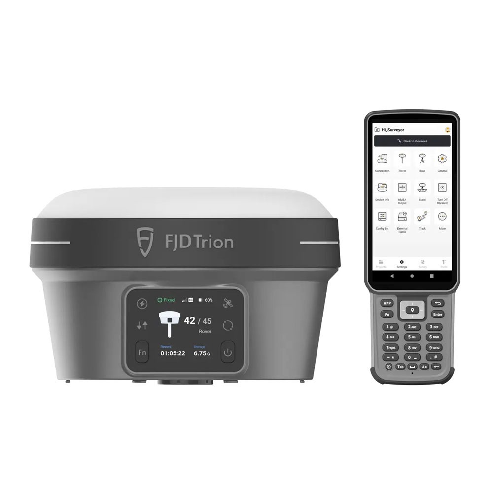
The V10i is an advanced RTK GNSS system featuring visual positioning, augmented reality (AR) stakeout, and a calibration-free 60° IMU tilt sensor. It uses 1408 channels for multi-constellation tracking and dual cameras to measure hard-to-reach points safely.
Request a Quote
Prices shown are for the United Arab Emirates only and exclude VAT @ 5% Local Rate (Unless Otherwise Stated).
Other countries may incur additional import duties.
Please Contact Us for further details and pricing for your country or location.
FJD Trion V10i RTK System
The V10i is an advanced RTK GNSS system featuring visual positioning, augmented reality (AR) stakeout, and a calibration-free 60° IMU tilt sensor. It uses 1408 channels for multi-constellation tracking and dual cameras to measure hard-to-reach points safely.
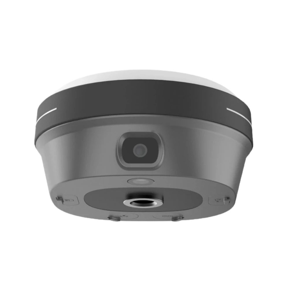
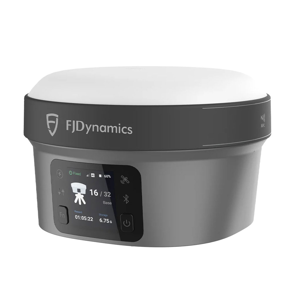
Grab the V10i and get measuring. Integrating an OLED screen, IMU, and two cameras, the V10i gives us a next-level productivity boost. The AR Stakeout gives you real-time visual guidance on stakeouts. The Visual Measure achieves the measurement of hard-to-access locations. An OLED screen will bring a new interactive experience for Surveyors.
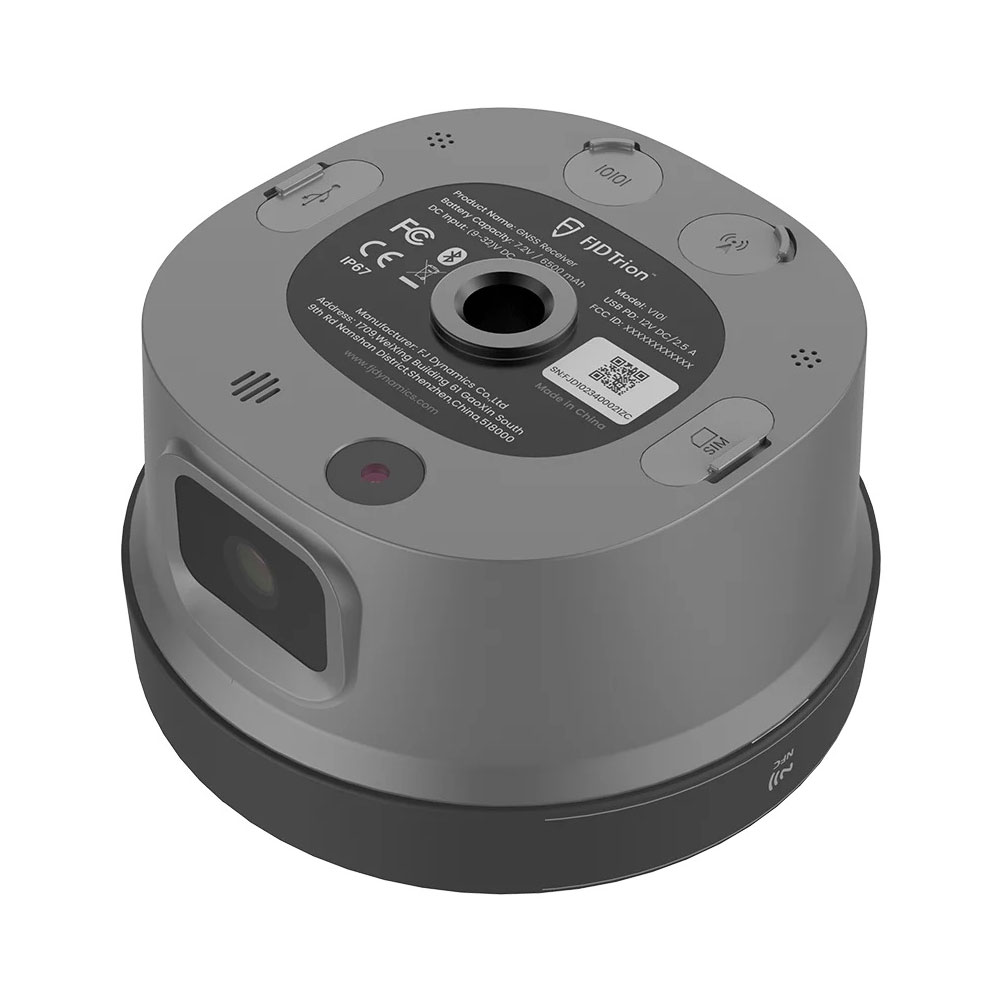
With a 2MP front camera and a 5MP bottom camera, V10i will bring a clear picture texture to the surveyors. A powerful 4-core processor and a multi-engine algorithm ensure the V10i gets a smooth image in the AR Stakeout function. And in the image measurement function, you only need to click on the photo to obtain centimeter-level precision coordinates.
The AR Stakeout feature turns the traditional stakeout on its head. Two HD cameras provide a clear video view in real-time during stakeout. The location of the point is shown directly in the video. Real-time directional guidance will allow us to find the stakeout points quickly.
The Visual Measure function of the V10i enables it to be utilized for measurements in areas that are difficult to access. After capturing at least 5 high-definition photos, the coordinates can be easily obtained in the photos using a multi-engine algorithm, which is very practical in many dangerous situations.
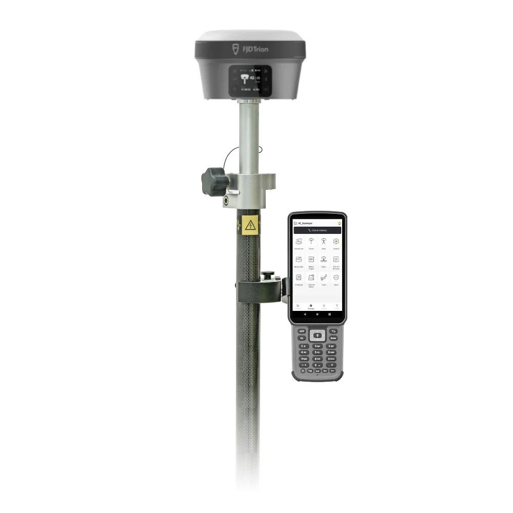
The V10i supports the Tilt Survey of 60 degrees. We don’t need to hold the survey pole upright when measured, which improves the efficiency of the measurement. When we meet some positions where we can’t hold the pole upright, the Tilt Survey function will help you solve it easily.
The OLED screen displays the real-time working status of V10i. The highlight screen ensures we can read under the strong sunlight. We can set V10i as a base station and static mode by physical buttons when we don’t have controllers.
The alloy body of the V10i is lightweight and resistant to magnetic interference. The upgraded build enables consistently strong satellite availability even with obstructed sky or less than ideal weather conditions. You can trust the V10i to keep on working even if it’s rained on or dropped.
| Channels | 1760 |
| GPS | L1C/A, L1P(Y), L2C, L2P, L5 |
| GLONASS | L1CA, L2CA, L2P, L3 CDMA |
| BDS | B1I, B1C, B2a, B2I, B3 |
| Galileo | E1, E5a, E5b, E5 AltBOC |
| QZSS / NavIC / SBAS | L1C/A, L2C, L5 · L5 · EGNOS, WAAS, GAGAN, MSAS, SDCM |
| Positioning Performance | |
| High-Precision Static (H / V) | 2.5 mm + 0.1 ppm / 3.5 mm + 0.4 ppm |
| Static & Fast Static (H / V) | 2.5 mm + 0.5 ppm / 5 mm + 0.5 ppm |
| PPK (H / V) | 3 mm + 1 ppm / 3.5 mm + 1 ppm |
| RTK (H / V) | 6 mm + 0.5 ppm / 10 mm + 1 ppm |
| RTK Init Time | 7 s typical |
| SBAS / DGNSS (H / V) | 0.6 m / 0.8 m · 0.4 m / 0.7 m |
| Stand Alone (H / V) | 1.2 m / 1.9 m |
| Velocity Accuracy | 3 cm/s |
| Max Update Rate | 100 Hz (position + measurement) |
| Latency | < 10 ms |
| Time to First Fix | Cold < 45 s · Warm < 20 s · Re-acquisition 1 s |
| Tilt Survey | |
| Tilt Angle (H) | 8 mm + 0.6 mm/° tilt (0°–60°) |
| RTK + Tilt Accuracy at 30° | 2.5 cm |
| Tilt Sensor | Magnetic-immune, E-bubble leveling |
| Laser | |
| Class / Wavelength | Class 2M GREEN · 520 nm ± 20 nm |
| Range | 0 – 80 m |
| Ranging Accuracy | ±(5 + 100×10⁻⁶ × D) mm |
| Camera | |
| Sensor | Dual 2 MP · Large-format 3 μm pixel |
| Shutter / FOV | Starlight-grade global shutter · 88° |
| Visual Survey Accuracy | 3 cm (2–15 m range) |
| Video Photogrammetry | ~30 s capture · ~30 MB per group |
| Communication | |
| UHF Radio | Rx/Tx 410–470 MHz / 902–928 MHz · 2 W |
| Protocols | TRIMTALK, TRIMMARK III, TT450S, TRANSEOT, Satel 3AS 4FSK, LoRa |
| Cellular | TDD-LTE, FDD-LTE, WCDMA, EDGE, GPRS, GSM |
| Wi-Fi | 2.4 & 5 GHz · 802.11 a/b/g/n/ac · Touch pairing |
| Bluetooth / NFC | Supported |
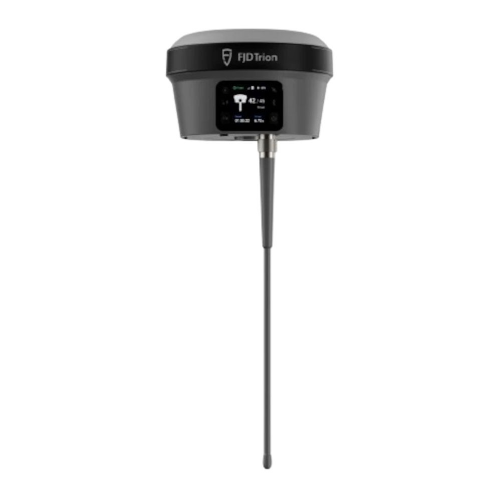
| Ports | 7-pin LEMO · UHF antenna · USB Type-C |
| System & Data | |
| Storage | 32 GB internal |
| Display | 1.41″ True Color OLED · 320×360 · 274 ppi |
| Data Formats | NMEA 0183, v2.3/v3.03/v4.0 · RINEX v2.x/v3.x · RTCM v2.x/v3.x (MSM) · CMR v2.0, CMR+ |
| Power | |
| Battery | 7,000 mAh · 7.4 V · Built-in |
| Rover / Base / Static | 15 h / 10 h / > 25 h |
| Charging | 30 W PD Fast Charge · USB-C |
| External Power | 9–28 V DC |
| Physical & Environmental | |
| Dimensions | φ 130 × 83 mm |
| Weight | Approx. 980 g |
| Operating Temperature | −35 °C to +65 °C |
| Storage Temperature | −40 °C to +70 °C |
| IP Rating | IP68 |
| Drop Test | 2 m pole drop |
| Membrane | Waterproof & breathable (anti-condensation) |