FJD Trion GNSS Studio

LINK GULF SKU FJD214-0009 CATEGORIES , TAGS , ,

FJD Trion GNSS Studio

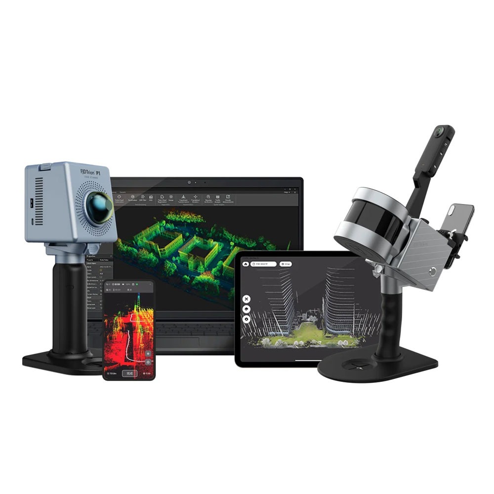
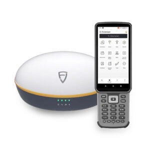
Part of the software and hardware ecosystem by FJDynamics designed for processing and managing high-precision Global Navigation Satellite System (GNSS). It is also used for reality capture data.

Key Features

  • Data Processing: Streamlines raw GNSS static and kinematic data reduction, coordinate calculations, and quality checks.
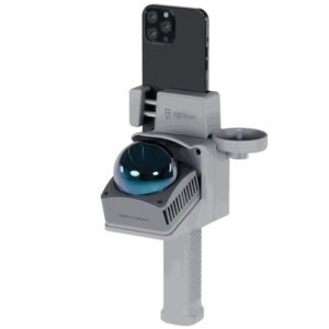
  • Multi-Sensor Integration: Supports workflows tied to FJD Trion hardware like the V10i or V1t receivers, merging satellite tracking with inertial measurement unit (IMU) logs.
  • Project Management: Organizes job sites, coordinate systems, and point data smoothly from field controllers to desktop software.

It bridges field data collection—such as RTK measurements, IMU tilt surveys, and visual positioning logs. Additionally, it connects with office-based analysis and project delivery.

Request a Quote

Prices shown are for the United Arab Emirates only and exclude VAT @ 5% Local Rate (Unless Otherwise Stated).
Other countries may incur additional import duties.

Please Contact Us for further details and pricing for your country or location.

FJD Trion GNSS Studio

Part of the software and hardware ecosystem by FJDynamics designed for processing and managing high-precision Global Navigation Satellite System (GNSS). It is also used for reality capture data.

Key Features

  • Data Processing: Streamlines raw GNSS static and kinematic data reduction, coordinate calculations, and quality checks.
  • Multi-Sensor Integration: Supports workflows tied to FJD Trion hardware like the V10i or V1t receivers, merging satellite tracking with inertial measurement unit (IMU) logs.
  • Project Management: Organizes job sites, coordinate systems, and point data smoothly from field controllers to desktop software.

It bridges field data collection—such as RTK measurements, IMU tilt surveys, and visual positioning logs. Additionally, it connects with office-based analysis and project delivery.

Data Collection Measure Points;  Auto Measure; Control Measure; Tilt Measure
Measure & Draw; GIS Survey; Measure Track; Visual Measure
Laser Measure; Scan Measure; PPK Measure
Stakeout
Stake Points / Lines / DTM Stake CAD; Stake Road; Stake Slope; AR Stakeout
Calculation Tools
Volume
Area Calculation / Division Inverse; Point to Line
Traverse / Offset Point Deflection; Slope; Intersection
Segment Line / Arc Bisect Angle; Triangle; Rectangle
System Capabilities
Coordinate Systems 6,000+ predefined, Grid, Geoid
Codes 30+ symbols, customisable color
Data Import / Export ASCII, DWG, DXF, KML, SHP, NCN, SIM, GT, RW5, PDF
Differential Link Internal radio, External radio, Wi-Fi, NTRIP, FDDS, TCP
Radio Protocol TRIMTALK, TRIMMK3, TT450S, TRANSEOT, SATEL
Multilingual Support EN, ZH-CN, AR, BG, CS, DE, EL, ES, FR, HU, IT, JA, KO, PL, PT, RO, RU, TR, VI, ZH-TW
Cloud Service
Cloud Drive Free 5GB cloud storage, supports data upload, download, and sharing
GNSS Studio Professional post-processing platform, supports RTCM, RINEX 2.x, and RINEX 3.x
Supported Controllers
Handheld Terminal FJD Trion E200 / E600 / E800
Tablet FJD Trion UA80 / D8 / D10
Other Android devices Android 8+ *, at least 3GB RAM, 32GB storage, Bluetooth 4.2
Supported GNSS Receivers FJD Trion V1 / V1t
FJD Trion V10a / V10i / V10L / V100F
FJD Trion D10 Back Clip RTK
FJD Trion V4e / V4e Pro

Request A Quotation...

Please fill Out Your Details & Any Special Requests