Home » Link Gulf – Main Store Page » Robotics » Lidar Scanners » FJD Trion Survey Software
FJD Trion Survey Software – One Software, Complete field workflow
Trion Survey is a GNSS field controller software that integrates surveying and construction workflows within a single application. It supports field surveying and data export, in-field design creation, data import, stakeout, as-built surveys, and reporting.
Field Workflow:
This workflow enables users to complete the full digital construction cycle from a single device—from initial surveying through design, layout, as-built documentation, and final reporting. Cloud-based data exchange also allows optional data import and export between the office and the field when required.
Request a Quote
Prices shown are for the United Arab Emirates only and exclude VAT @ 5% Local Rate (Unless Otherwise Stated).
Other countries may incur additional import duties.
Please Contact Us for further details and pricing for your country or location.
FJD Trion Survey Software – One Software, Complete field workflow
Trion Survey is a GNSS field controller software that integrates surveying and construction workflows within a single application. It supports field surveying and data export, in-field design creation, data import, stakeout, as-built surveys, and reporting.
Field Workflow:
This workflow enables users to complete the full digital construction cycle from a single device—from initial surveying through design, layout, as-built documentation, and final reporting. Cloud-based data exchange also allows optional data import and export between the office and the field when required.
Over 6,000 predefined coordinate systems worldwide, with grid and geoid models available online for use and setup.
Supports DWG, DXF, SHP, KML, XML, and WMS/WFS files with full layer structure preserved for direct use in the field.
Loads CAD drawings quickly and shows them clearly. Let you stake out directly from the drawing for better accuracy and faster field work.
Supports AR stakeout and visual measurement including video, laser, and point cloud. Through intuitive visual workflows, users can complete positioning and measurement tasks directly from what they see.
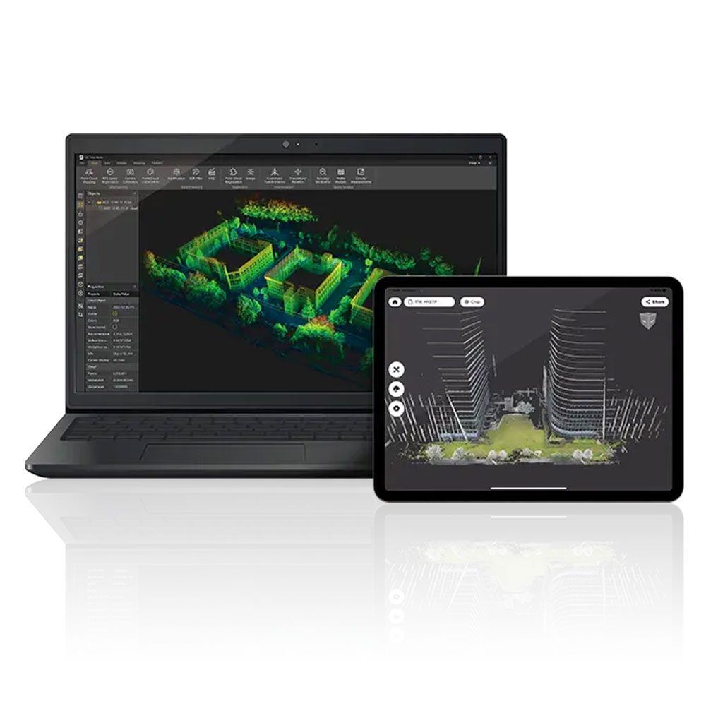
Trion Survey connects field data collection with office processing on a single platform. Field data is synced to the cloud for review and analysis. With GNSS post-processing, it supports workflows from data capture to final delivery, enabling field and office teams to work with the same data.
| Data Collection | Measure Points; Auto Measure; Control Measure; Tilt Measure |
| Measure & Draw; GIS Survey; Measure Track; Visual Measure | |
| Laser Measure; Scan Measure; PPK Measure | |
| Stakeout | |
| Stake Points / Lines / DTM | Stake CAD; Stake Road; Stake Slope; AR Stakeout |
| Calculation Tools | |
| Volume | |
| Area Calculation / Division | Inverse; Point to Line |
| Traverse / Offset Point | Deflection; Slope; Intersection |
| Segment Line / Arc | Bisect Angle; Triangle; Rectangle |
| System Capabilities | |
| Coordinate Systems | 6,000+ predefined, Grid, Geoid |
| Codes | 30+ symbols, customisable color |
| Data Import / Export | ASCII, DWG, DXF, KML, SHP, NCN, SIM, GT, RW5, PDF |
| Differential Link | Internal radio, External radio, Wi-Fi, NTRIP, FDDS, TCP |
| Radio Protocol | TRIMTALK, TRIMMK3, TT450S, TRANSEOT, SATEL |
| Multilingual Support | EN, ZH-CN, AR, BG, CS, DE, EL, ES, FR, HU, IT, JA, KO, PL, PT, RO, RU, TR, VI, ZH-TW |
| Cloud Service | |
| Cloud Drive | Free 5GB cloud storage, supports data upload, download, and sharing |
| GNSS Studio | Professional post-processing platform, supports RTCM, RINEX 2.x, and RINEX 3.x |
| Supported Controllers | |
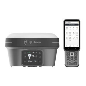
| Handheld Terminal | FJD Trion E200 / E600 / E800 |
| Tablet | FJD Trion UA80 / D8 / D10 |
| Other Android devices | Android 8+ *, at least 3GB RAM, 32GB storage, Bluetooth 4.2 |
| Supported GNSS Receivers | FJD Trion V1 / V1t |
| FJD Trion V10a / V10i / V10L / V100F | |
| FJD Trion D10 Back Clip RTK | |
| FJD Trion V4e / V4e Pro |