Home » Link Gulf – Main Store Page » Robotics » Lidar Scanners » FJD Trion V4e Pro Handheld Laser GNSS Receiver
FJD Trion V4e Pro Handheld Laser GNSS Receiver
A 320 g pocket-sized handheld RTK GNSS receiver combining centimeter-level positioning (H: ≤0.8 cm + 1 ppm), IMU tilt compensation up to 30°, and an integrated laser measurement tool for hard-to-reach points.
Request a Quote
Prices shown are for the United Arab Emirates only and exclude VAT @ 5% Local Rate (Unless Otherwise Stated).
Other countries may incur additional import duties.
Please Contact Us for further details and pricing for your country or location.
FJD Trion V4e Pro Handheld Laser GNSS Receiver
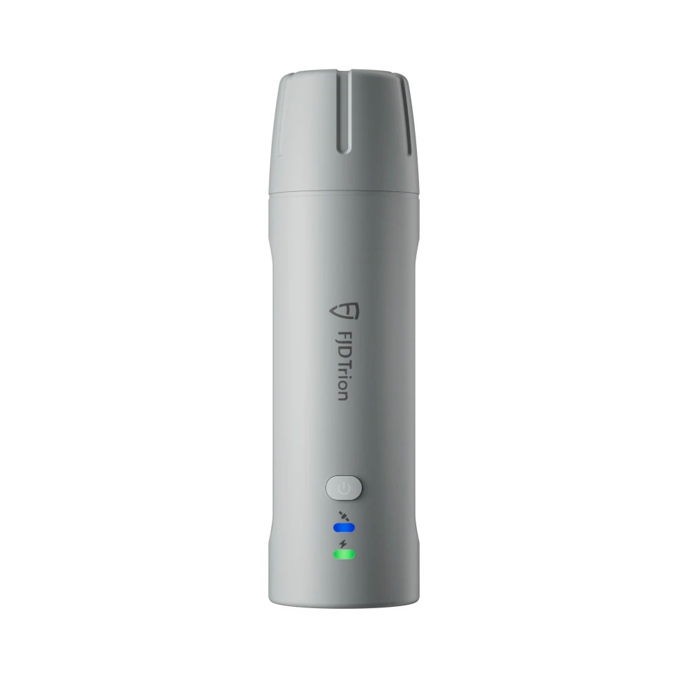
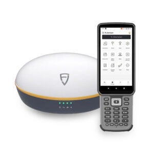
The FJD Trion V4e Pro breaks the boundaries of traditional GNSS receivers with handheld convenience and portable precision. Weighing only 320g, the V4E delivers centimeter-level positioning without centering rods, making it perfect for individuals, teams, and professionals on the go. Easy to use and budget-friendly, it can instantly unlock the power of high-accuracy surveying.
Deliver centimeter-level accuracy with ±1.5 cm static precision. It supports 1408 channels and covers all GNSS constellations, including GPS, BDS, GLONASS, Galileo, QZSS, and SBAS. Weighing only 320g, the V4E offers broad compatibility with popular correction services, supporting NTRIP connectivity with RTCM 2.3, RTCM 3.x, and CMR.
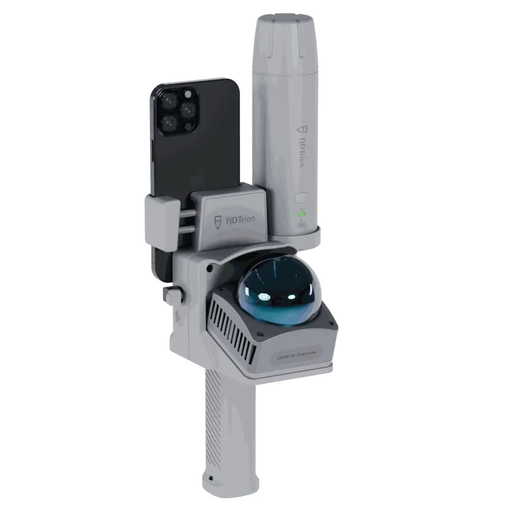
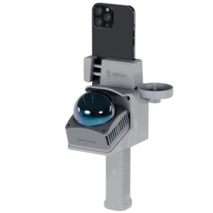
Compensate for tilt angles up to 30° (PRO version) with a built-in IMU, so you don’t need to hold it perfectly straight. This gives you ≤3cm accuracy at a 3m distance without a leveling rod. Its onboard LiDAR rangefinder in the PRO version also achieves ±3mm precision at a 10m distance for precise point targeting.
Stay powered up for the entire workday. It can run for over 12 hours and takes less than 3 hours to charge. Keep the V4E working while charging it with the optional power bank, so your work is never interrupted. With IP67-rated protection against water and dust, and resistance to drops from 1.2 meters, it’s built to withstand tough environments.
Access the FJD ecosystem quickly for a smooth workflow from field to machine. The GNSS data you collect with the V4E in the field is used by FJD’s farming autosteering systems, robotic mowers, and other smart devices for automated tasks. You don’t have to convert the data, allowing you to work faster and reduce mistakes.
| GNSS Signal Tracking | |
| Channels | 1408 |
| GPS | L1C/A, L2P, L5 |
| BDS | B1I, B2I, B3I, B1C, B2a, B2b* |
| GLONASS | G1, G2 |
| Galileo | E1, E5b, E5a, E6* |
| QZSS / SBAS | L1, L2, L5 / L1C/A |
| Positioning Performance | |
| RTK (H / V) | ≤ 8 mm + 1 ppm / ≤ 15 mm + 1 ppm |
| DGPS (H / V) | ≤ 0.4 m / ≤ 0.8 m |
| Single Point (H / V) | ≤ 1.5 m / ≤ 2.5 m |
| RTK Init Time | < 5 s |
| Init Reliability | > 99.9% |
| Time to First Fix | Cold ≤ 30 s · Hot ≤ 5 s |
| Signal Re-acquisition | ≤ 1 s |
| Data Update Rate | 1 / 2 / 5 / 10 / 15 / 20 Hz |
| Time Accuracy | 20 ns |
| Velocity Accuracy | 0.03 m/s |
| Tilt & Laser (Pro Version) | |
| Tilt Survey | ≤ 3 cm at 3 m (up to 30°) |
| LiDAR Rangefinder | ± 3 mm at 10 m |
| IMU | Built-in (Pro only) |
| Communication | |
| Bluetooth | BT 4.0 Dual-mode · 5 m range |
| Wi-Fi | 2.4 GHz · Base station mode · 300 m range |
| Data Formats | RTCM 2.3, RTCM 3.x, CMR, NMEA-0183 |
| Interface | USB 2.0 Type-C |
| Power | |
| Battery Life | ≥ 12 hours |
| Charging | 5 V / 2 A USB-C · ≤ 3 h full |
| Power Consumption | ≤ 1.5 W |
| Physical & Environmental | |
| Dimensions | 182 × 53 × 53 mm |
| Weight | 320 g |
| Shell Material | PC + ABS |
| Mount | 1/4″ thread internal interface |
| Operating Temperature | −20 °C to +60 °C |
| Charging Temperature | 0 °C to +45 °C |
| IP Rating | IP67 |
| Drop Protection | 1.2 m anti-drop |

Pre-Order Now
This product has multiple variants. The options may be chosen on the product page
Request a Quote

Request a Quote

Request a Quote

Request a Quote